Using VR to Engage Communities

Objective 2

Status
In Progress
In Progress
The Inner Forth intertidal habitat - and the species that use it - is threatened by a number of factors, including climate-driven sea level rise, disturbance and new development. RSPB Skinflats underwent a process known as Managed Realignment to restore valuable habitat on the site: the site features in our Virtual Reality experience, demonstrating the coastal adaptation which led to an increase in the biodiversity at the reserve.

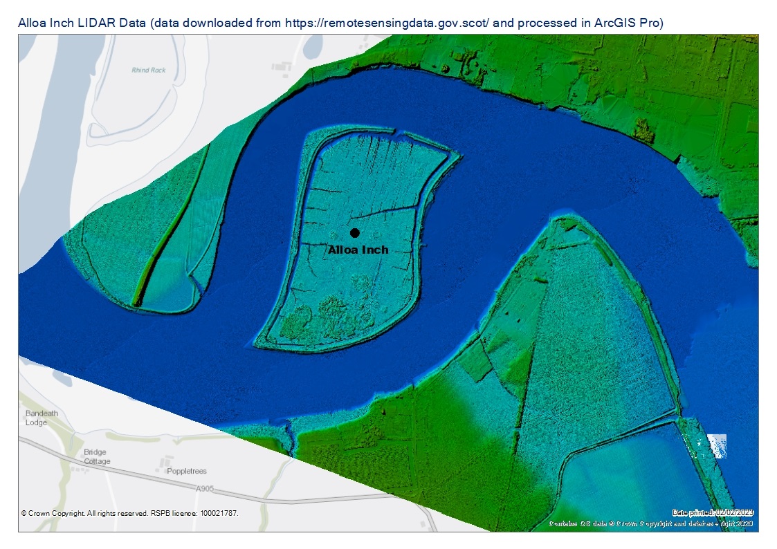
Along the Forth Estuary from Skinflats, Alloa Inch (owned by Scottish Wildlife Trust), is one site at risk of uncontrolled inundation from the Firth of Forth, should the existing sea defences breach. An interactive mapping tool and tour will enable viewers to travel to this uninhabited island and learn about its unique place in the Forth and why it's so important for nature in the area. It will aid discussions on how to progress with works at the Inch and raise awareness.
This activity will use Virtual Reality (VR) to show communities and stakeholders what can be done when we work with - and not against - nature to mitigate the effects of climate change.
The Climate FORTH team will be taking their Virtual Reality experience to events, workshops and groups over the coming months.
If you're interested in learning more, or would like us to come to your event or group, please email our Communications Officer, Laura on laura.healysmith@rspb.org.uk
If you're interested in learning more, or would like us to come to your event or group, please email our Communications Officer, Laura on laura.healysmith@rspb.org.uk


.jpg)
Project Location
Funded by