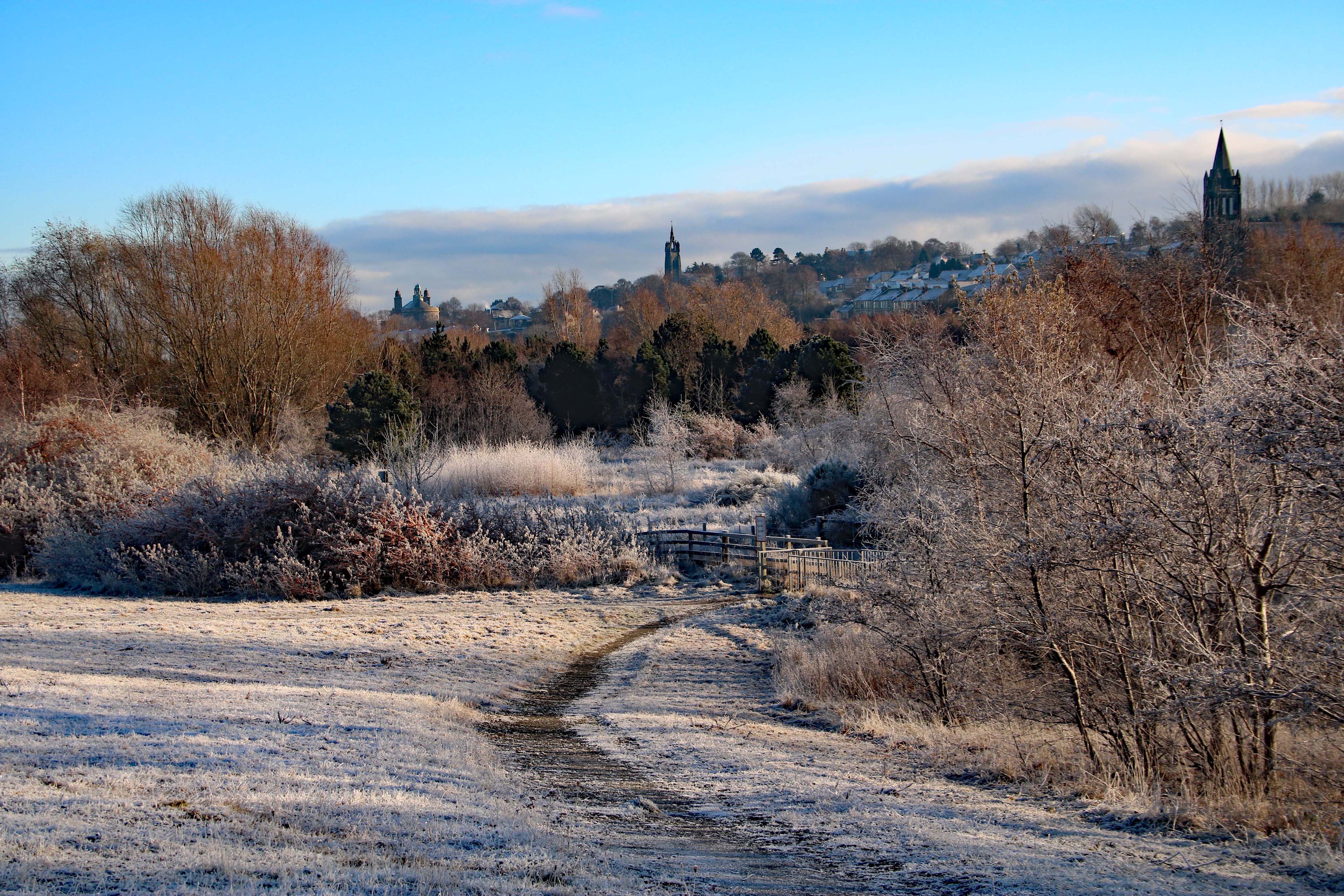
The Inner Forth landscape is made up of many different habitats that together can support wildlife, people’s wellbeing, and our ecosystem services*. The key to making these habitats function in the best possible way is to ensure they link together across the landscape – this is what we mean by a habitat or nature network. With other stakeholders, we have mapped an Inner Forth Habitat Network, produced a call-to-action and are seeking ways and means to deliver aspects of the network. In the Inner Forth we have identified six key habitat types:
We all have a role to play in tackling the biodiversity and climate crisis, whether in rural or urban settings, and whether working at the garden, farm, development, city or landscape-scale. We believe that promoting opportunities to deliver Scotland’s Nature Network at a regional scale, such as the Inner Forth, will empower land managers, decision makers, organisations and businesses to take effective action. We hope that you can use these resources to inform your work:The Inner Forth Habitat Network Call to Action (v3) is an evolving document, last updated in November 2022. It will be revised and updated annually to reflect achievements and opportunities as they arise. The Inner Forth Futures Natural Heritage Working Group are taking this work forward, but you can help too.
The Inner Forth Habitat Network Concept Maps (East) and (West) & User Guide(40Mb)shows existing and potential areas for the five key habitat types that were identified during a 2019 pilot engagement process. The User Guide describes how to locate where the conservation, restoration and management of an existing habitat is the priority for the coherence of the habitat network, and where the Opportunity Network is located i.e. places to strengthen the habitat network.
Inner Forth Habitat Network Webinar, February 2022. Download the slides here to find out how the Network was created, how it supports planning policy, where it has already informed local work and how you can use the Map, Call to Action or Ecological Coherence Practitioners' Guide.
How to Identify a Habitat or Nature Network
If you would like to identify a habitat or nature network for your site, landscape area or region, download Ecological Coherence: A Practitioners’ Guide. The guide uses the Inner Forth Habitat Network pilot (2018-2019) as a case study to take you through use of the ecological coherence protocol.
This guide is intended as a practical tool to help decision-makers such as local authorities, statutory bodies, conservation organisations or land owners/managers, to identify where best to invest in habitat improvement, restoration and creation, to connect habitats together, and deliver wider ecosystem and socio-economic benefits. We suggest that the process is collaborative, and incorporates views, knowledge and data from a range of stakeholders and sources.
Realising the Inner Forth Habitat Network - Current & Past Work
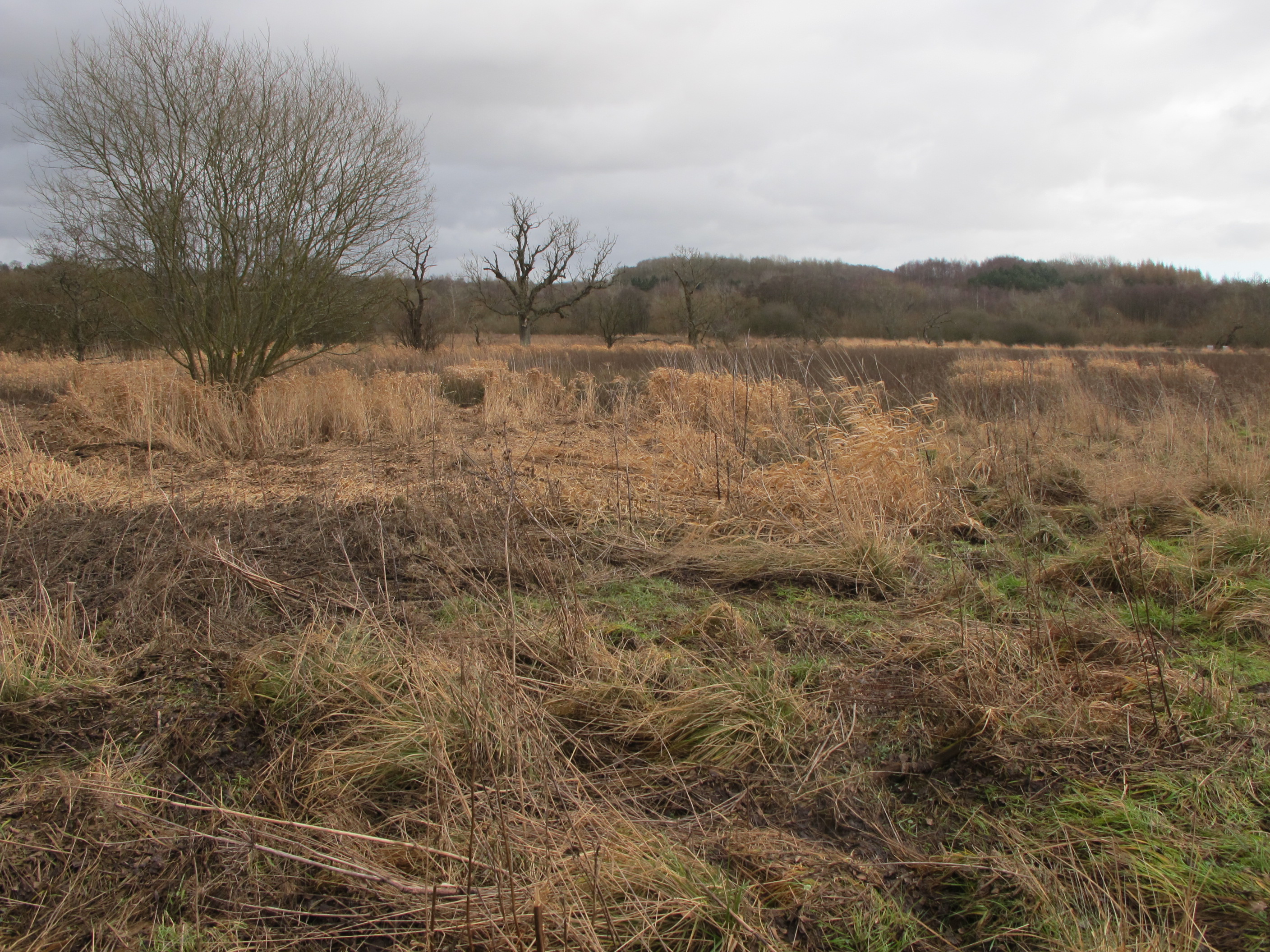
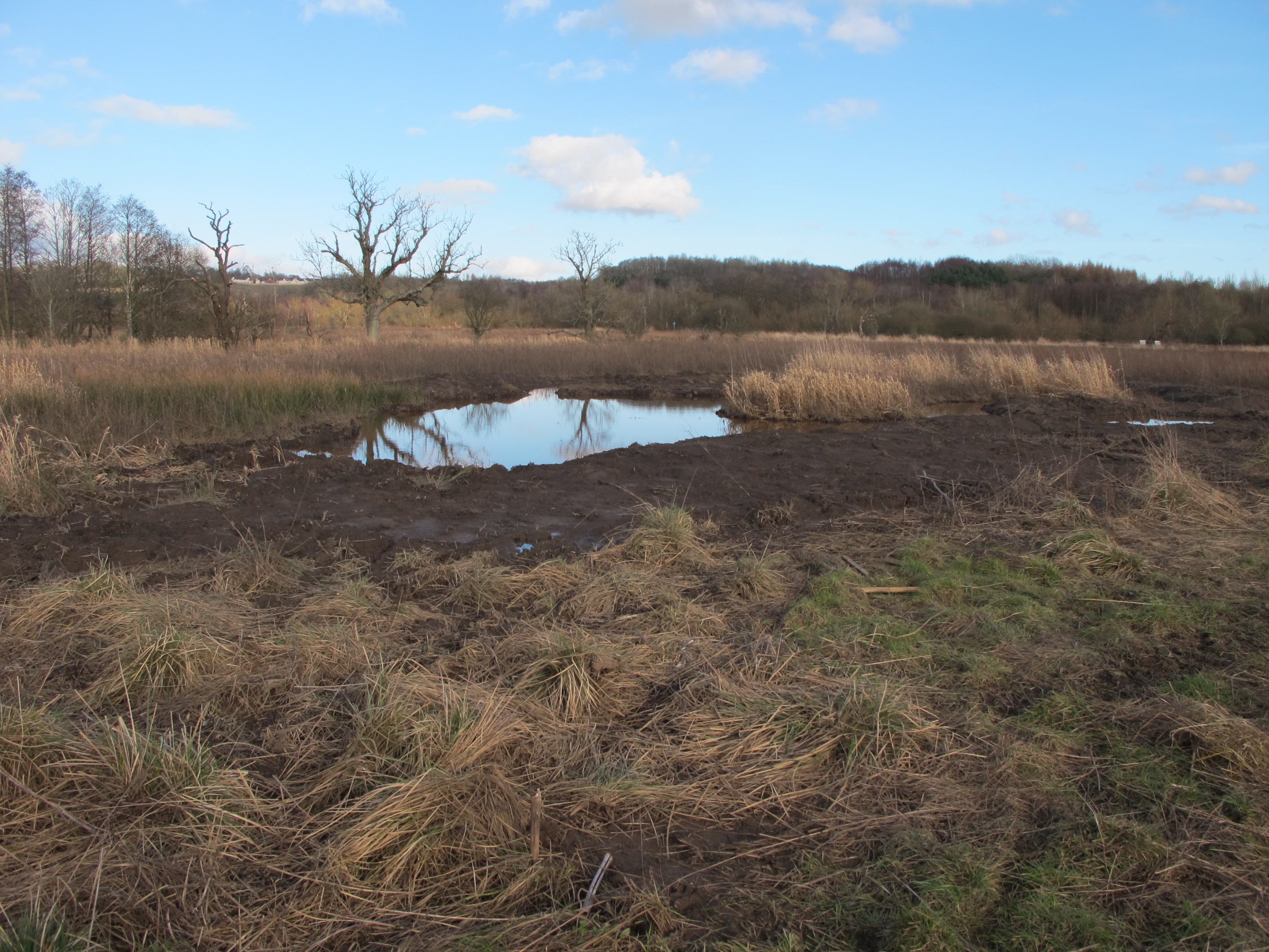
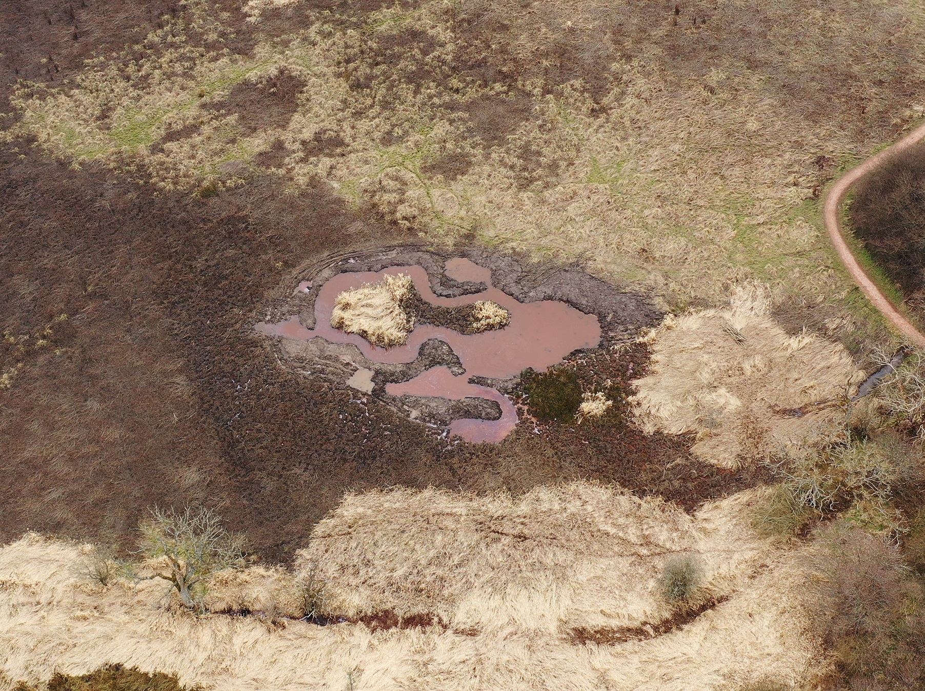
In 2020-21 we successfully applied for funding from NatureScot through the Biodiversity Challenge Fund to undertake wetland works at four sites around the Inner Forth: Bothkennar Pools (Falkirk Council), Bluther Wetlands (Fife Council), Carron Dams Local Nature Reserve (Scottish Wildlife Trust), Kildean Wetlands (Stirling Council). This work emerged from the Inner Forth Habitat Network mapping and identification of wetland enhancement opportunities. This project included: creation of 7 ponds, planting of 1,050 new trees, 1.4km of fencing installed for conservation grazing, improved management of over 110ha of wetland habitat.
Before and after images of Bluther Wetlands (pictures courtesy of Fife Council)
Background to the Inner Forth Habitat Network
Between 2014-2019 the EcoCo LIFE project, supported through the LIFE financial instrument of the European Community, funded a range of habitat creation and improvement work to help join up nature across Central Scotland. They developed an ‘ecological coherence protocol’ to identify the best places to carry out work to maximise benefits for biodiversity and ecosystem services, both during their project and into the future. Having created and used the protocol, it needed further testing and refinement to ensure its suitability across a wider range of habitats and regions. In 2018, Inner Forth Futures and Buglife – The Invertebrate Conservation Trust were commissioned to refine and revise the protocol through two projects. Each project worked with staff from a wide range of organisations, including local authorities, statutory bodies and conservation organisations.
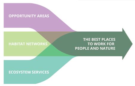
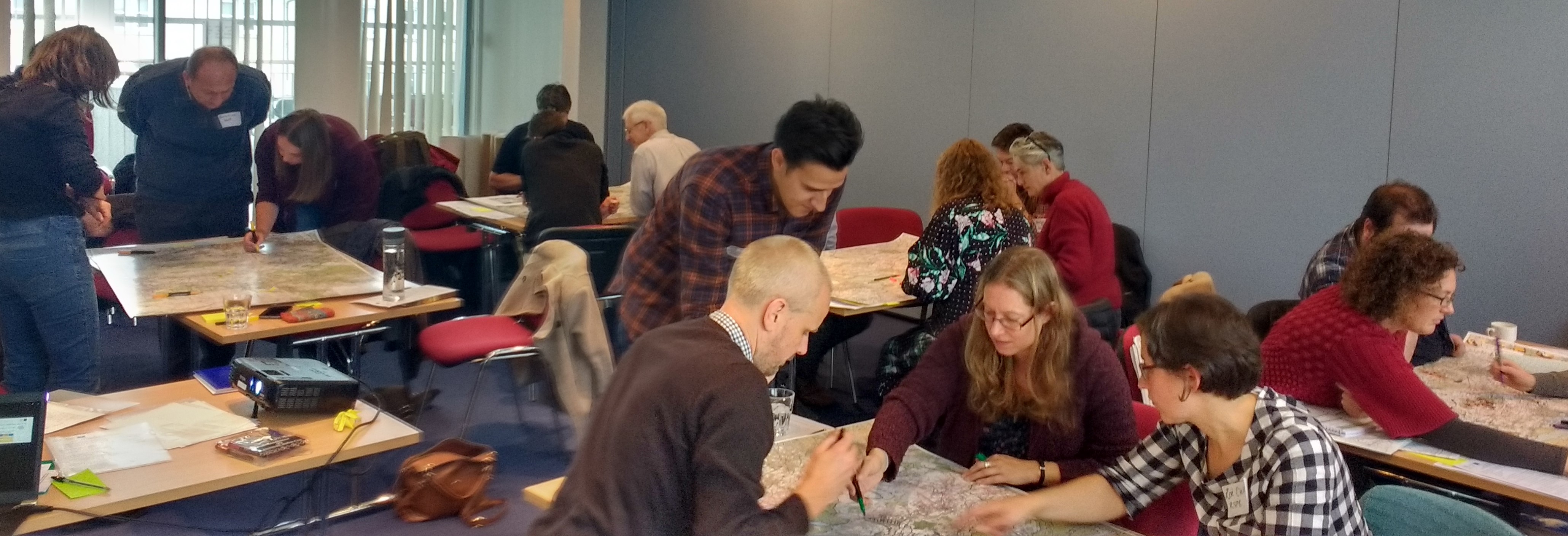
Here in the Inner Forth, we used our strong knowledge base to pilot a partnership approach to defining and developing a habitat network for the Central Scotland Green Network areas within Stirling, Falkirk, Clackmannanshire and Fife. Through three workshops involving a range of organisations, local knowledge and expertise was shared to develop the habitat network. To achieve this, participants considered the three key elements of the ecological coherence protocol in a specific order: 1. habitat networks, 2. ecosystem services, 3. opportunity areas. Each meeting built on the last by reviewing knowledge and existing data and maps, before a final, mapped vision was produced.
We will be updating this page with new information as we become aware of it and when they have funding for delivery, new projects that help to deliver the Inner Forth Habitat Network. In tandem with our work, other projects and collaborations are contributing to nature networks across Scotland and more widely. These include:
*The way in which natural habitats provide the things we need to survive – clean water, clean air, energy, flood prevention and carbon capture, for example. The Inner Forth Habitat Network Pilot was supported by a contribution of the LIFE financial instrument of the European Community delivered as part of the EcoCo LIFE project: LIFE13 BIO/UK/000428